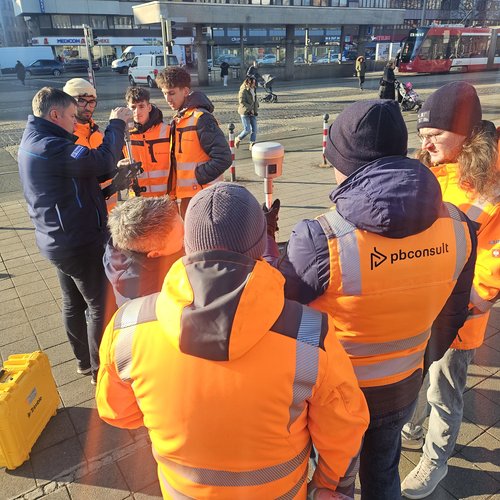
PB Consult state of the art in measuring technology
A few days ago, after an extensive testing phase, we purchased a new GPS surveying device from the Trimble brand. At the heart of the system is the Trimble R12i GNSS receiver, which is located in the grey-yellow box on the surveying rod.
The system offers a considerable advantage, especially in urban environments. It enables so-called ‘oblique measurements’, which allow for greater accuracy, particularly when satellite reception is limited due to tall buildings or trees. The survey pole can be held at an angle as long as the tip touches the correct target point on the ground. This improves visual contact with the satellites, allows hidden points to be measured and enables significantly more precise results to be achieved. The accuracy is approximately 2 cm in position and approximately 3 cm in height.
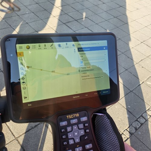
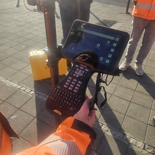
The controller can be used to upload georeferenced DWG/DXF data and transfer planning documents from the office directly to the device. Conversely, inventories can be recorded at the start of a project – as a basis – and transferred directly to our plans.
The computer's software is Android-based and therefore very user-friendly. After a brief introduction, almost anyone can operate the device. With the associated Trimble Connect software, the necessary data can be transferred directly from the office to the device, providing our surveying team with immediate access to the data. The GNSS receiver is equipped with a SIM card that connects to the SAPOS correction data service of the Bavarian Surveying Administration. This provides continuous real-time corrections during measurement and significantly improves measurement accuracy.

Public Space Insights


More news about:
Public Space